
AUGMENTED REALITY APPLICATIONS
Overcome the barriers of two-dimensional maps.
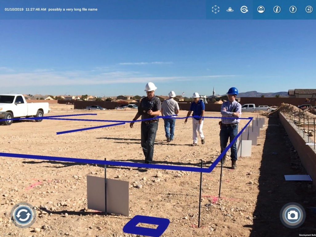
Field work is full of spatial surprises and unmapped realities.
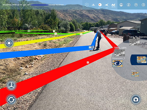
Augmented reality offers an immediate, real-world view of GIS data, leading to efficiencies and better-informed field teams.
AR PATHWAYS
INSPECTION


ARGIS® LENS
Whole-Product AR Solution
811 POSITIVE RESPONSE
ARTMS
Augmented Reality Ticketing Management System


Using augmented reality for field work overcomes weather, obstacles, and other wild cards.
REAL-WORLD SUCCESS WITH AR
Featured


ARCAD
CLIENTS


Why Augmented Reality?
Each year, more and more research reveals augmented reality’s positive impact on brain function and learning. AR improves visual attention and increases memory encoding by 70%.
This technological “brain hack” supports rapid spatial awareness, worksite safety, and knowledge transfer.