Argis Solutions is the no-nonsense spatial partner.

Our mission is to provide GIS consulting services that are client-focused and practical. With every client, we build a common sense roadmap leading to geospatial success.

EXPERTISE
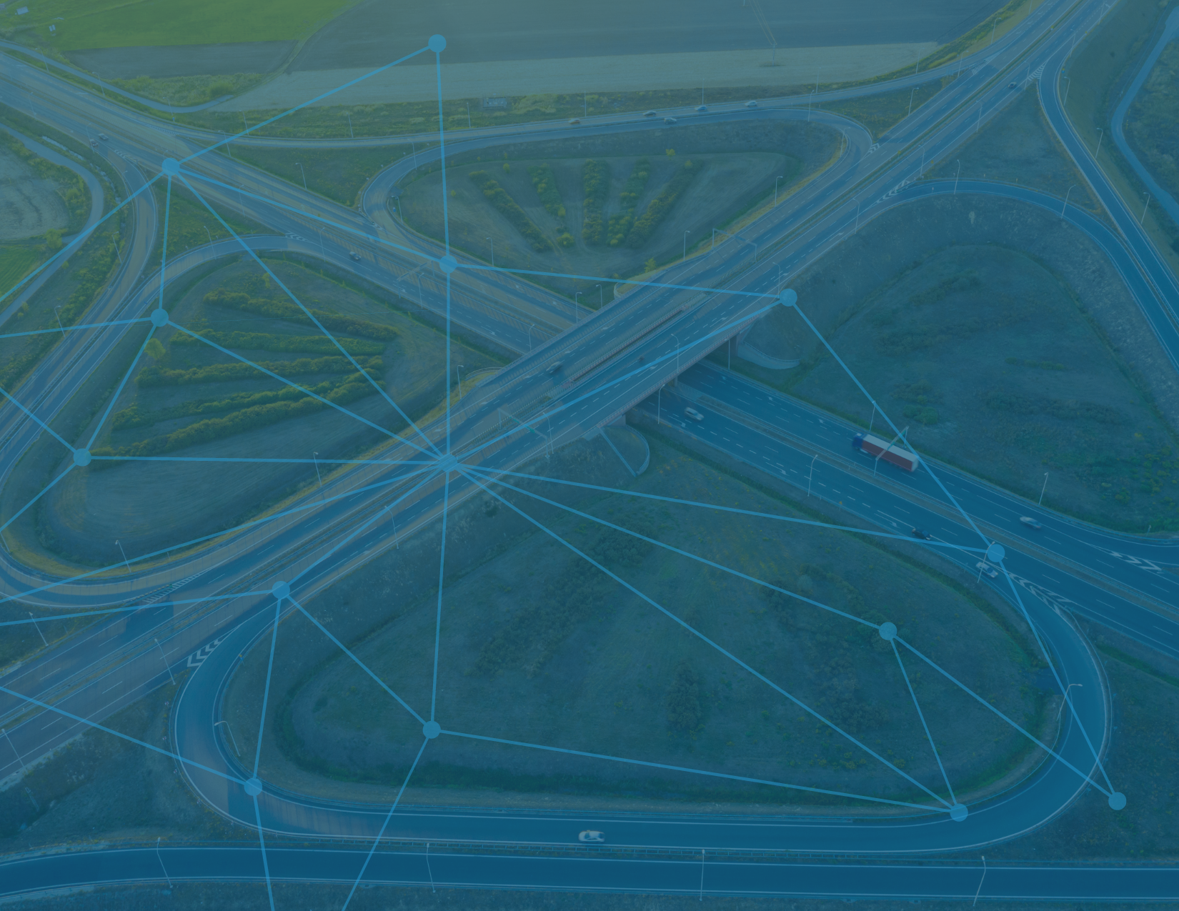
We have decades of experience validating our work. Our foundation of technical knowledge within the fields of GIS and software development is both broad and deep, crossing a wide range of industries and sectors, from oil, gas, and pipeline to state and local government and emergency services.
Whether its spatial analysis, database management, or GIS development the Argis operations team has the skills and experience to tackle even the most complex challenges.

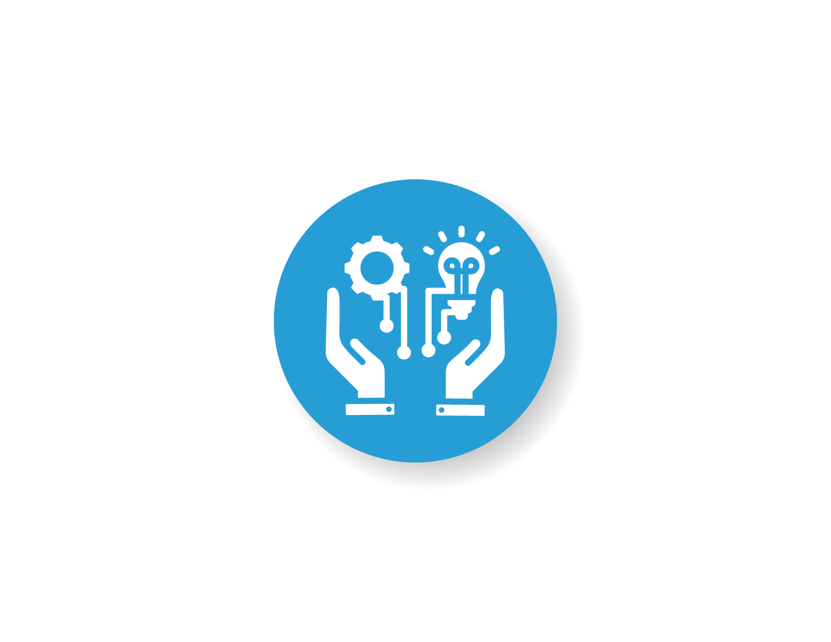
COLLABORATION
We believe in the power of partnership. From day one, we'll work closely with your team to understand your unique goals and challenges, centering our solutions around meeting your needs.
Our focus on partnership also extends beyond the Argis-client relationship. Our relationships with Esri, Microsoft, Safe Software, Tyler Technologies, and organizations within the Esri Partner Network augment our ability to provide the best for our clients.

CREATIVE THINKING
Argis began with a big idea: merging ArcGIS data with augmented reality technology. Our big-picture, ahead-of-the-curve thinking earned us a U.S. patent and multiple awards from Esri for innovation.
From implementing cloud-based systems to harnessing the power of machine learning, computer vision, and artificial intelligence, Argis is comfortable pushing the boundaries of what's possible in service to our clients.
RESULTS
We deliver. Client satisfaction is key. With a relentless focus on innovation and excellence, we're committed to not just meeting but exceeding your expectations.
Our solutions are engineered to yield measurable impact and tangible ROI, whether through optimizing workflows, improving data quality, or fostering stakeholder engagement.


SPECIALTIES AND AWARDS


Experienced GIS Professionals

The Argis Solutions GIS operations and development team has a combined 80+ years of experience to put to work for you.
From oil and gas to emergency management to local government and beyond, our team’s background spans a wide range of industries and sectors.
ABOUT ARGIS SOLUTIONS, INC.
Argis is an award-winning Esri Gold Partner offering a broad range of GIS support and consulting services for state and local government, federal, nonprofit, and private organizations since its founding in 2016.
Argis is recognized for its creative use of computer science to solve problems requiring complex spatial analysis. The highly educated Argis technical team has decades of expertise in the field of GIS and software development.
Argis Solutions, Inc.
GIS Professional Services and Consulting
P.O. Box 461677
Aurora, CO 80046
Hours of Operation: 9 am to 5 pm MST
Office: 303-482-2040 (9-5 MST)
Sales Information: sales@argissolutions.com