Augmented Reality: A Holistic Solution for Damage Prevention Stakeholders
An analysis of the 2019 DIRT report outlining how augmented reality addresses a variety of stakeholder needs.
The most recent DIRT report clearly demonstrates the time is ripe for innovative technologies like the Argis Lens, a mobile app that offers a 3-dimensonal view of utilities and hidden infrastructure at the worksite using augmented reality. With $30 billion in damages incurred last year and continuing to rise over the past five years, the Common Ground Alliance states, “Significant improvements will only happen if we collectively look at opportunities to reduce damages through comprehensive change.”
AR can offer damage prevention results for those at the worksite, as well as stakeholders who are farther removed from the excavation process, like insurers, who benefit from better worksite practices. Examining the roles of the 16 stakeholders identified by the CGA, we note that AR offers mutual benefits for a majority of them, answering the CGA’s call for collective opportunities to prevent strikes and damages.
Locators
With construction nationwide booming, locators are inundated with requests, often with a backlog of 30 to 60 days. The DIRT report observes the volume of requests are rising. This request backlog creates a big delay in the construction process. If the delay is big enough, the excavator might attempt to excavate without a locate being performed, creating vulnerability in the damage prevention process.
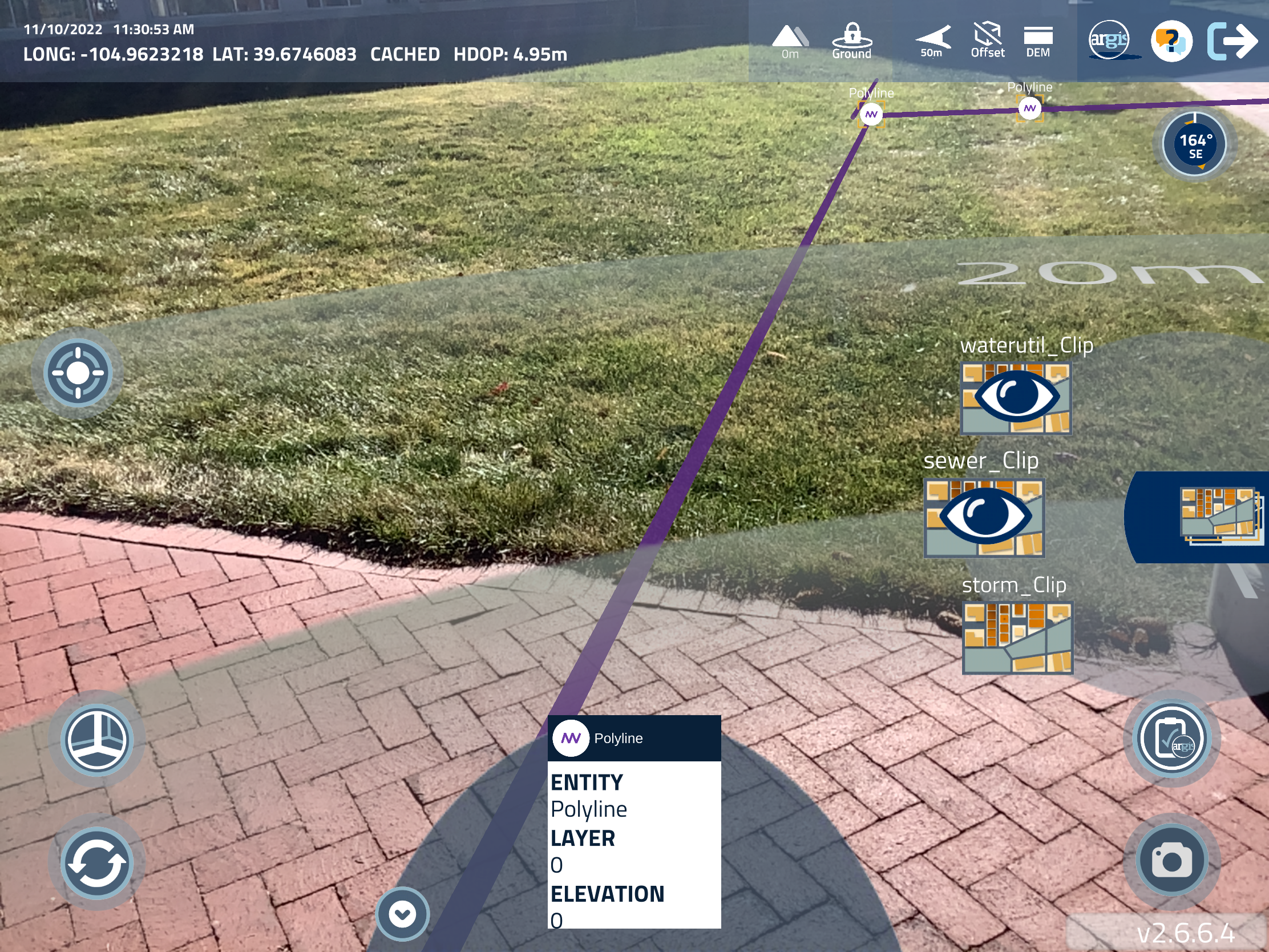
Integrating AR makes the location process faster and more accurate. When workers have the ability to view maps three-dimensionally directly at the worksite, situational awareness is improved, and GIS data can be confirmed in real time. One of our clients, Whiting Petroleum, an E&P petroleum company that performs their own facility location, found their location process was reduced by 30 minutes with AR. That huge backlog could be significantly reduced, all while providing visual documentation of the location site as a layer of liability protection for the locator.
Excavators
The moment the dirt is disturbed, the potential for a strike to occur becomes a potential reality. Excavators are in a tough position as the stakeholder performing the physical action that causes strikes, whether or not they are actually at fault due to inaccurate or incomplete information being provided. Even the most careful digging can result in damages, injury, or death if the data supplied is wrong.
AR can be a powerful asset for excavators, arming and empowering them with access to understandable geospatial data in visual form. Anyone on the crew can see for themselves if the data matches the markings. It also offers an extra layer of liability protection with photographic documentation that is layered with geospatial data and time-stamped, locational coordinates.
Facility Owners
With disruption of services inconveniencing customers and affecting business continuity, especially during the pandemic, facility owners have a big stake in effective damage prevention. Additionally, states, like Colorado, have made changes in subsurface utility engineering laws that are shifting more responsibility and liability onto facility owners.
AR can help facility owners ease their compliance burden caused by changing SUE laws. As we’ve shared before, a Colorado facility owner client has experienced great success using the Argis Lens to accurately document facilities so that they offer the highest quality data when positive response is required. This proactive approach with the Lens has also helped them comprehensively document their response for liability purposes.
Insurance
This stakeholder carries the financial burden of liability for the stakeholders mentioned above. $30 billion in damages in 2019 confirms the coverage exposure is serious. Technologies like GPS tracking for auto insurance discounts have been successfully implemented, so it seems natural to consider adopting newer technologies like AR as an exposure-prevention tool in the excavation process. As discussed above, using AR as a layer in the damage prevention process can give stakeholders access to better data, be a catalyst for data improvement, and facilitate better communication and documentation, reducing claims for damages and financial exposure.
One Call
One call organizations’ mandate to reduce damages and keep the damage-prevention conversation open, meaningful, and progressing among all stakeholders can be a challenge. With AR’s ability to address a number of stakeholder struggles, one call organizations can use it as another means for stakeholder engagement as they strive to forge better communication between all involved in the excavation process. Preventative action using AR provides stakeholders with tools for a proactive approach, fostering a spirit of collaboration.
AR: Innovative Technology Addressing a Variety of Stakeholder Needs
The DIRT report acknowledges the implementation of new technologies can “reduce damages by improving one call center processes, locating and excavating practices, and communication in the field.” Our analysis shows AR’s effectiveness in addressing a number of stakeholder needs within the damage prevention life cycle. Additionally, our evaluation last year exploring AR’s ability to prevent a number of root causes demonstrates it is a tool ripe for adoption in the pursuit of safer digging. As a leader in “shovel-ready” innovation, we believe improvement is possible for stakeholders who adopt new methods in the field like AR.